Land Surveying Services
Land Surveying
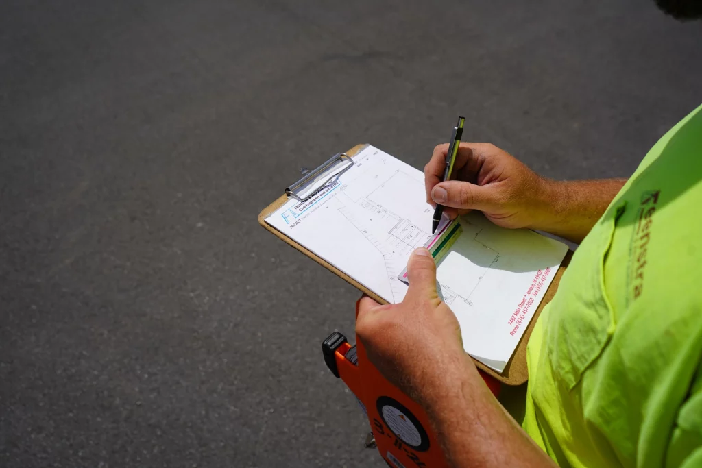
Our land surveying services help property owners, builders, developers, lenders, and title companies better understand the location, boundaries, features, and elevations of a property. From basic residential survey needs to more detailed commercial and construction related projects, we provide accurate field data and clear documentation to support informed decisions.
Property Surveys
Boundary Survey:
A Boundary Survey determines and verifies the legal boundaries of a parcel of land. Our standard Boundary Survey includes a detailed location of encroachments and permanent structures on the property, including but not limited to houses, garages, barns, sheds, decks, power lines, concrete areas, and other visible site improvements.
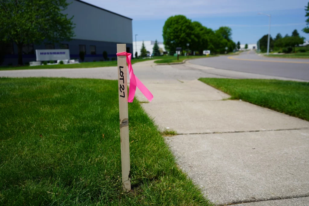
As part of the survey, all property corners are located and marked. Each property corner is identified with permanent iron stakes, either found or set below the ground surface, along with wood stakes placed above the ground for visibility. Additional property line stakes may also be set upon request.
When would I need a Boundary Survey?
Boundary Surveys are commonly requested before purchasing property or before making improvements such as installing fences, constructing building additions, adding pools, or completing other projects near property lines.
ALTA Survey:
An ALTA Survey, also known as an ALTA/NSPS Land Title Survey, is a detailed survey prepared according to national standards established by the American Land Title Association and the National Society of Professional Surveyors. This type of survey provides a comprehensive review of a property’s boundaries, improvements, easements, rights of way, access points, and other title related matters.
Because ALTA Surveys are more detailed, the exact information included may depend on what the lender, title company, attorney, or client requires. Additional items may include zoning information, parking areas, utilities, flood zone information, building dimensions, and other site details when requested.
When would I need an ALTA Survey?
ALTA Surveys are commonly requested for commercial property purchases, refinancing, title insurance, development planning, and other real estate transactions where a more detailed review of the property is required
Mortgage Report:
A Mortgage Survey, sometimes called a Mortgage Report, is a basic property review often used during the home buying or refinancing process. This type of survey helps confirm the general location of the house, driveway, and other major improvements in relation to the property lines. This may include checking whether major structures appear to be located within the property boundaries or whether there are visible concerns that may need further review.
A Mortgage Survey is typically less detailed than a Boundary Survey and is not intended to mark property corners or property lines for construction, fences, additions, or other improvements. If exact property lines or corner locations are needed, a Boundary Survey is usually the better option.
When would I need a Mortgage Report?
Mortgage Surveys are commonly used for residential home purchases, refinancing, lender requirements, title company requests, and general closing documentation. You may need a Mortgage Report if you are buying or refinancing a home and your lender or title company has requested one.
Land Division:
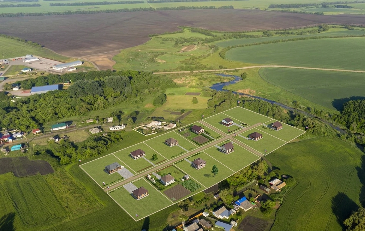
A Land Division is used when a portion of land is being divided from an existing parcel to create a new property description or separate parcel. This type of survey helps identify the area being split, establishes the new property lines, and provides the information needed for review, approval, and future deed preparation.
As part of a Land Division, the surveyor will determine the proposed split area and mark the necessary corners or property lines. The location of permanent structures may also be included depending on the situation. In general, permanent structures are typically located on the portion of land being split from the original parcel.
When would I need a Land Division?
Land Divisions are commonly needed when selling part of a property, transferring land to another owner, creating a new buildable parcel, or adjusting ownership of a portion of land. Requirements can vary depending on the township, city, county, or zoning authority reviewing the split.
Property Line Survey:
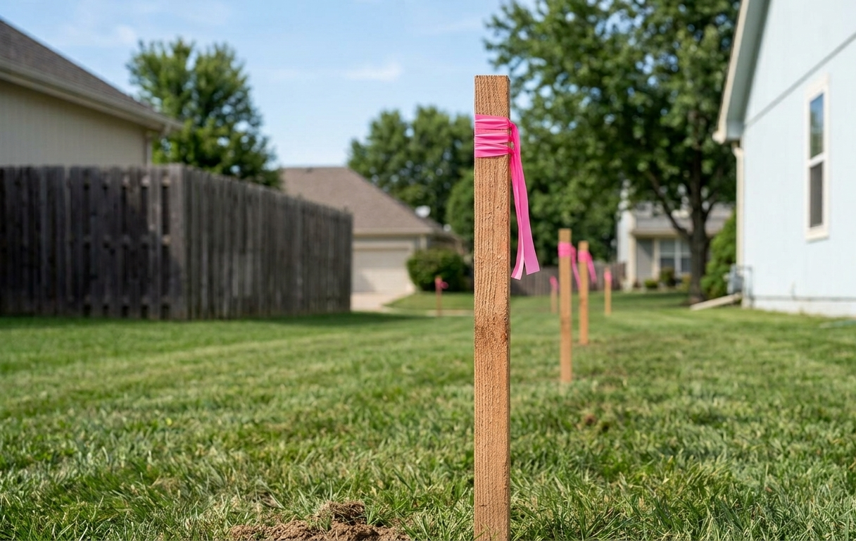
A Property Line Survey is used to locate and mark one or more specific property lines on a parcel of land. This type of survey is helpful when a property owner does not need the entire boundary marked, but wants to clearly identify a certain side or section of the property.
As part of a Property Line Survey, the necessary property corners are located and marked so the requested property line can be identified. Encroachments along or near the requested line may also be located, such as fences, buildings, driveways, or other improvements. Additional line stakes can be placed upon request to make the property line easier to follow.
When would I need a Property Line Survey?
Property Line Surveys are commonly requested before installing fences, completing landscaping work, resolving disputes with a neighbor, or identifying one or two specific property lines.
Property Line Adjustment:
Property Line Adjustment:
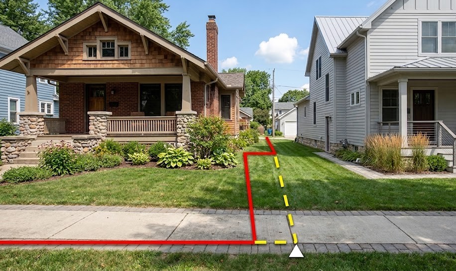
A Property Line Adjustment is used when two neighboring property owners want to change the location of a shared property line. This does not usually create a new parcel, but instead adjusts the boundary between existing parcels.
This type of survey helps determine the proposed new property line, prepare the required legal descriptions, and provide the information needed for review and approval. Property Line Adjustments are often reviewed by the local township, city, county, or zoning office before the change can be finalized. Permanent structures may be located depending on the situation and the requirements of the reviewing authority. The final requirements can vary based on the properties involved and the local approval process.
When would I need a Property Line Adjustment?
Property Line Adjustments are commonly requested when neighboring property owners want to transfer a small portion of land, correct an issue with an existing property line, improve access, or make the property layout more practical.
Easement Description:
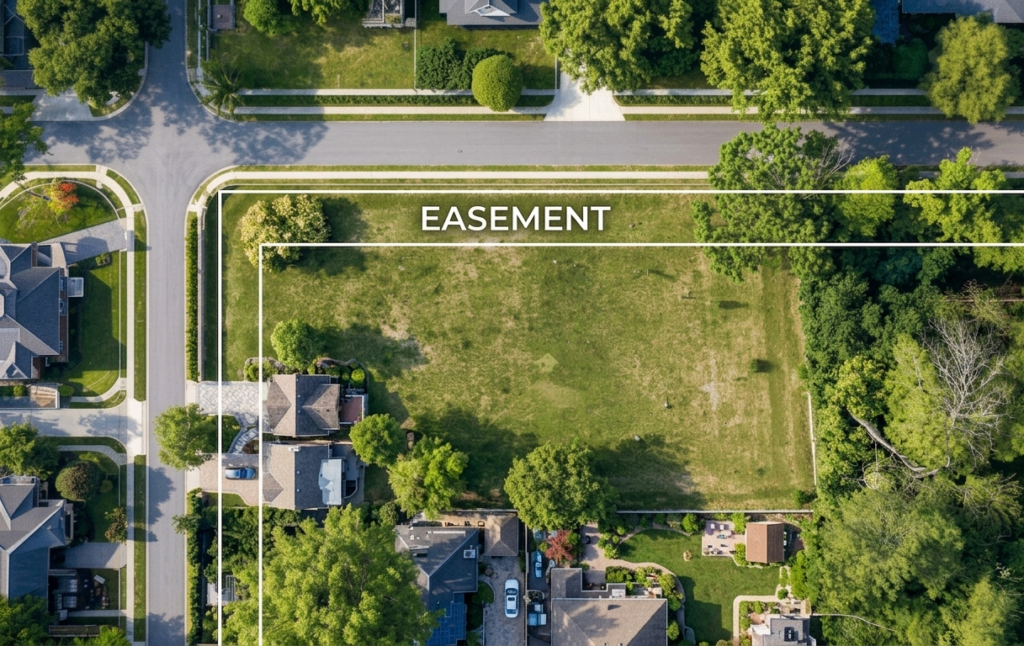
An Easement Description is used to identify, create, or document a specific area of land that another person, company, or public agency has the right to use for a particular purpose. Easements are commonly used for access, utilities, drainage, driveways, sidewalks, or shared use areas.
This type of survey helps determine the location and limits of the easement and may include the preparation of a legal description or exhibit drawing. Depending on the situation, the survey may also show nearby property lines, buildings, driveways, utilities, or other site features related to the easement area.
When Would I Need an Easement Description?
Easement Surveys are commonly requested when creating a new easement, documenting an existing easement, granting access across a property, or identifying areas needed for utilities, drainage, or shared use.
Elevation Surveys
Topographical Survey:
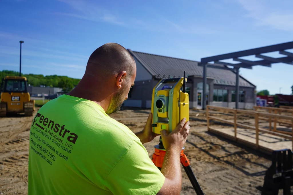
A Topographical Survey is used to locate and map the existing features and elevations of a property. This type of survey shows the shape of the land, including changes in grade, slopes, ditches, drainage areas, and other elevation information.
A Topographical Survey may also include visible site features such as buildings, driveways, sidewalks, roads, trees, fences, utilities, and other improvements depending on the needs of the project. The final survey is often used by engineers, architects, builders, and property owners for design and planning purposes.
When would I need a Topographical Survey?
Topographical Surveys are commonly requested before site development, building additions, grading work, drainage improvements, septic design, driveway design, and other projects where the elevation and layout of the land need to be understood.
Elevation Certificate:
An Elevation Certificate is used to document a structure’s elevation in relation to the mapped flood zone for a property. This certificate provides important information about the building’s lowest floor elevation and its relationship to the surrounding floodplain.
Elevation Certificates are commonly requested by lenders, insurance companies, and property owners to help determine flood insurance requirements and insurance rates. They may also be used during the home buying or refinancing process when a property is located in or near a mapped flood zone. In some cases, an Elevation Certificate may help lower flood insurance costs or provide supporting documentation when trying to remove a flood insurance requirement.
When would I need an Elevation Certificate?
Elevation Certificates are commonly requested for flood insurance review, lender requirements, home purchases, refinancing, and properties located in or near a mapped flood zone.
Letter of Map Amendments (LOMA’s):
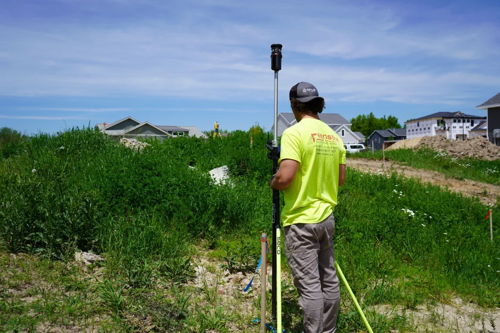
A Letter of Map Amendment, commonly called a LOMA, is used to request a change to a FEMA flood map when the mapped flood zone does not accurately reflect the actual elevation conditions of a property. This process is often used when a home or building appears to be located in a flood zone, but survey information shows that the structure or land may be above the required flood elevation.
A LOMA is prepared using elevation information collected by a professional land surveyor and submitted to FEMA for review. If approved, FEMA may officially amend the flood map for that specific property or structure.
When would I need a letter of Map Amendments?
LOMAs are commonly requested for flood insurance review, lender requirements, home purchases, refinancing, and properties that may have been incorrectly mapped within a flood zone.
Floodplain Certificate:
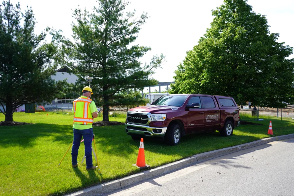
A Floodplain Certificate is used to evaluate a property’s relationship to a mapped floodplain and determine flood elevation information for the site. This type of survey may include topographical measurements to help identify existing ground elevations, nearby flood elevations, and how the property may be affected by floodplain requirements.
Floodplain Certificates are commonly used for new construction, development planning, flood insurance review, and determining whether floodplain related approvals or modifications may be needed. This information can help property owners, builders, engineers, and local reviewing agencies better understand the conditions of the site before moving forward with a project.
When would I need a Floodplain Certificate?
Floodplain Certificates are commonly requested for new construction, site development, floodplain review, flood insurance questions, and projects located in or near a mapped floodplain.
Construction Staking
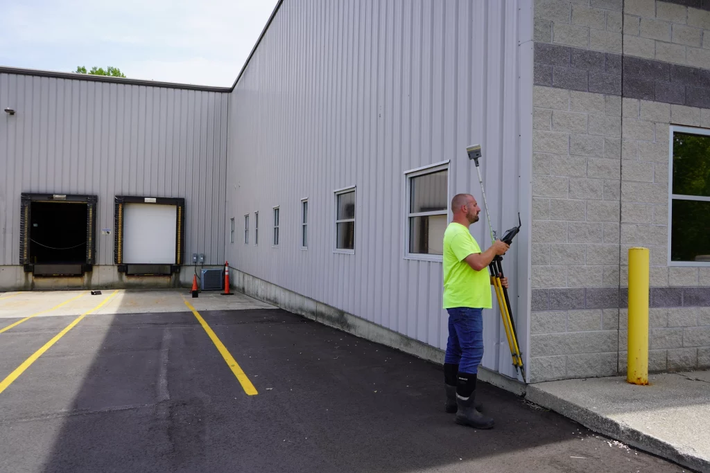
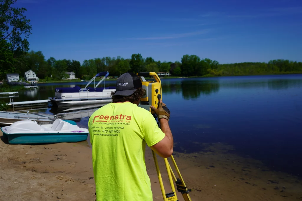
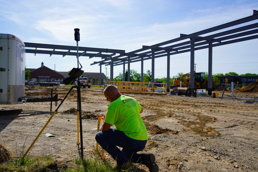
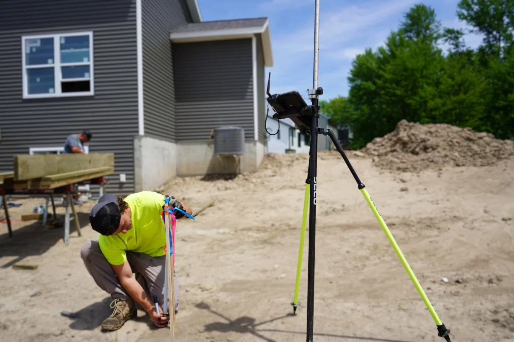
Construction Staking is used to transfer approved construction plans from paper or digital design files onto the actual project site. This allows contractors, builders, developers, and property owners to see where proposed improvements should be placed in the field before and during construction.
This service helps ensure that important project features are built in the correct location and at the proper elevations. Depending on the project, construction staking may be needed for layout, grading, utilities, roads, buildings, parking areas, sidewalks, and other site improvements. Accurate staking is an important part of keeping a project organized and helping avoid costly mistakes during construction.
Our construction staking services may include, but are not limited to:
- Public and private roads
- Underground utilities
- Residential houses
- Condominiums
- Commercial buildings
- Parking lots and drives
- Sidewalks and bike paths
- Recreational fields and courts
- Landfills
- Other site improvements shown on approved plans
The exact staking needed will depend on the type of project, the approved plans, and the stage of construction. Some projects may only need a small amount of staking, while larger developments may require multiple site visits as construction progresses.
Because construction staking needs can vary greatly from one project to another, we recommend contacting our office directly to discuss your project. Our team can review the scope of work, determine what information is needed, and help identify the appropriate staking services for your project.
Ready to Get Started?
Submit a quote request through our website to provide project details, property information, and the type of service you are looking for. Once received, our team will review the request and follow up with the next steps.